


Tauktae, a powerful cyclone, has wreaked havoc on India's west coast. Though the southern peninsula has been drenched for many days, the storm has now brought torrential rains and strong winds to Maharashtra and Gujarat.
Weather Report: After making landfall in Gujarat, the storm is expected to pass on to northwest India, according to the latest forecasts. The remnants of Cyclone Tauktae are expected to dump significant amounts of rain across Rajasthan, Haryana, Delhi, Himachal Pradesh, and Uttarakhand despite their rapid weakening.
Storm makes landfall in Diu
Tauktae became an Extremely Severe Cyclonic Storm (ESCS) on Sunday night and has remained that way ever since. The storm is moving at around 20 kmph towards the Gujarat coast. Tauktae is predicted to make landfall over the Gujarat coast near Porbandar and Mahuva (Bhavnagar district) to the east of Diu between 8:00 and 11:00 p.m. IST on Monday night, according to the latest predictions from the national forecaster, India Meteorological Department (IMD).


It may have a maximum sustained wind speed of 155-165 kmph, with gusts up to 185 kmph when it makes landfall. On its way, the cyclone is expected to hit the country's west coast, carrying with it extremely heavy rainfall over the next few days.
Rajasthan, Gujarat's neighbouring state, is also expected to be engulfed by the system. The IMD has issued an orange alert for Tuesday and Wednesday in Rajasthan, warning of dust storms, thunderstorms, and lightning, as well as squally winds (50-60 kmph) and heavy to very heavy rainfall, with very heavy rainfall in isolated areas.
Other sections of north and northwest India are affected:
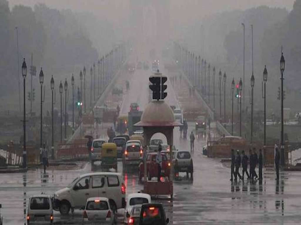
After landfall, the storm normally weakens quickly because the ocean heat and moisture that fueled it are no longer available. As the storm moves inland, the rainfall intensity will gradually decrease, but heavy rains are still possible on Wednesday in Delhi, Haryana, Himachal Pradesh, and Uttarakhand.
The remnants of this system are expected to trigger widespread to widespread rainfall with thunderstorms over the Western Himalayan Region and the adjoining plains of northwest India, according to the IMD, especially on May 19 and 20. On these two days, the aforementioned regions may see isolated moderate to very heavy rainfall.
Aside from heavy rains, thunderstorms, lightning, and hailstorms are predicted in all of the above locations, as well as gusty winds of 40 to 50 kmph.
In northwest India, an orange warning has been issued
On Wednesday, May 19, the IMD issued an orange warning for Himachal Pradesh, Uttarakhand, Punjab, Haryana, Chandigarh, Delhi, and west Uttar Pradesh due to the severe weather conditions. Residents should 'be prepared' for the bad weather, according to this degree of warning.
Only Himachal Pradesh, Uttarakhand, and west Uttar Pradesh have been put under an orange level warning for May 20 because the rainfall intensity will gradually decrease over the rest of the state. In other areas, such as Punjab, Haryana, Chandigarh, and Delhi, the alert level has been reduced to yellow watch, which means residents should ‘be mindful' of the weather. Meanwhile, Jammu & Kashmir and Ladakh have been put under a yellow watch advisory for both days.
The weather system known as the western disturbance normally brings bursts of rain to north and northwest India during the pre-monsoon months. The pre-monsoon season in the northwest plains has been underwhelming this year, with below-normal rainfall so far.
A welcome reprieve from the sweltering heat of summer
The arrival of Tauktae-induced wet weather conditions could provide some relief from the region's sweltering summer heat. According to the regional meteorological department in New Delhi, maximum temperatures in the capital could drop by 2°C to 6°C over the next three days, before increasing by 4°C to 6°C over most of northwest India. On Wednesday and Thursday, maximum daytime temperatures in Delhi could drop to 30°C.
Between March 1 and May 17, Uttarakhand (140 mm), Punjab (41 mm), and Himachal Pradesh (197 mm) all had ‘normal' rainfall amounts when compared to their respective long-term averages for this time span. On the other hand, rainfall in Uttar Pradesh (16 mm), Haryana (16 mm), Chandigarh (46 mm), Jammu & Kashmir (224 mm), Ladakh (17 mm), and Rajasthan (10 mm) was ‘inadequate.'
In the meantime, the national capital has received a ‘large deficient' amount of rainfall, with 9.6 mm falling short of the seasonal average of 36.6 mm in this time period.