The Indian Meteorological Department (IMD) has forecasted a mixed bag of weather conditions for Delhi in the coming days. On the temperature front, the capital city can expect a maximum of 38 degrees Celsius and a minimum of 18 degrees Celsius. The skies are predicted to be partly cloudy, offering a blend of sun and clouds to the residents.
Cyclonic Circulation over Northeast India
A cyclonic circulation over northeast Assam is expected to bring scattered to fairly widespread light to moderate rainfall and snowfall over Arunachal Pradesh. Thunderstorms, lightning, and gusty winds are also likely over Sub-Himalayan West Bengal and Sikkim, Assam and Meghalaya, and Nagaland, Manipur, Mizoram and Tripura in the next seven days. Isolated heavy rainfall may occur in Arunachal Pradesh on April 8 and 9.
Trough/Wind Discontinuity Across Coastal Andhra Pradesh to South Tamil Nadu
A trough extending from north Coastal Andhra Pradesh to south Tamil Nadu will trigger scattered to widespread light to moderate rainfall accompanied by thunderstorms, lightning, and gusty winds over Gangetic West Bengal, Jharkhand, Odisha, and isolated rainfall over Bihar today. Similar weather conditions are expected over East Madhya Pradesh, Chhattisgarh, Vidarbha, and other regions from April 8 to 12.

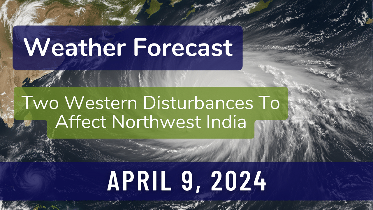
Western Disturbances Impacting Northwest India
Two Western Disturbances are set to affect northwest India, the first from April 10 (i.e. tomorrow) and the second from April 13. These disturbances will bring isolated to scattered light rainfall and snowfall with thunderstorms and lightning over Jammu-Kashmir, Himachal Pradesh, Uttarakhand, Rajasthan, Uttar Pradesh, Punjab, and Haryana during specific dates.
Temperature Trends and Forecasts
Yesterday, several regions experienced maximum temperatures exceeding 98th percentile, indicating above-normal temperatures. Over the next five days, a gradual fall in maximum temperatures is anticipated in many parts of Northwest India, while East India may see a gradual rise by 3-5°C. Maharashtra is likely to experience a decrease in maximum temperatures by 2-4°C during the same period. However, no significant changes are expected in other parts of the country.
Heat Wave, Warm Night, and Hot & Humid Weather Alerts
Heatwave conditions are expected in isolated pockets over Coastal Andhra Pradesh and Yanam, Rayalaseema, Telangana, and North Interior Karnataka today. Additionally, warm night conditions are likely in isolated pockets over North Interior Karnataka on the same dates. Hot and humid weather is anticipated over various coastal regions and parts of Tamil Nadu, Puducherry, and Kerala during specific periods in the coming days. Coastal areas of Gujarat, Coastal Karnataka, and other regions are also expected to experience hot and humid weather conditions.